Roundabout, Quedgeley
Introduction
The photograph on this page of Roundabout, Quedgeley by Derek Harper as part of the Geograph project.
The Geograph project started in 2005 with the aim of publishing, organising and preserving representative images for every square kilometre of Great Britain, Ireland and the Isle of Man.

There are currently over 7.5m images from over 14,400 individuals and you can help contribute to the project by visiting https://www.geograph.org.uk
Roundabout, Quedgeley
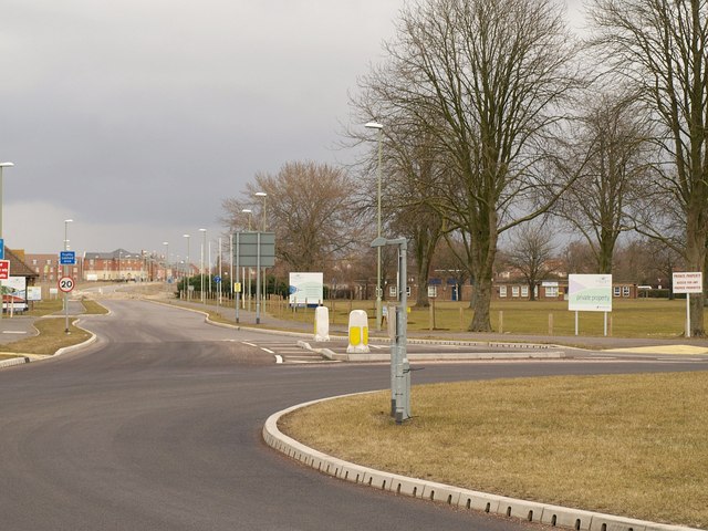
Image: © Derek Harper Taken: 12 Mar 2010
The edge of a new roundabout at the junction of Telford Way and Naas Lane. The road ahead leads into the former Quedgeley Enterprise Centre, now the Kingsway Business Park. The area on the right is designated as parkland on the masterplan http://www.kingsway-business-park.co.uk/templates/kbp_masterplan/largemasterplan.html .
Images are licensed for reuse under creativecommons.org/licenses/by-sa/2.0
Image Location
Latitude
51.817101
Longitude
-2.277038