Field of corn shoots
Introduction
The photograph on this page of Field of corn shoots by Peter Barr as part of the Geograph project.
The Geograph project started in 2005 with the aim of publishing, organising and preserving representative images for every square kilometre of Great Britain, Ireland and the Isle of Man.

There are currently over 7.5m images from over 14,400 individuals and you can help contribute to the project by visiting https://www.geograph.org.uk
Field of corn shoots
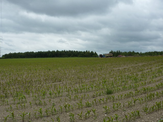
Image: © Peter Barr Taken: 7 Jul 2010
Agricultural land with shelter belt and disused farm machinery.Near Winsick, Chesterfield.
Images are licensed for reuse under creativecommons.org/licenses/by-sa/2.0
Image Location
Latitude
53.214692
Longitude
-1.388986