Busk Road Open Space
Introduction
The photograph on this page of Busk Road Open Space by Alan Murray-Rust as part of the Geograph project.
The Geograph project started in 2005 with the aim of publishing, organising and preserving representative images for every square kilometre of Great Britain, Ireland and the Isle of Man.

There are currently over 7.5m images from over 14,400 individuals and you can help contribute to the project by visiting https://www.geograph.org.uk
Busk Road Open Space
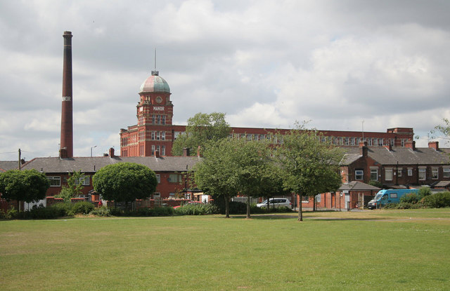
Image: © Alan Murray-Rust Taken: 29 Jun 2010
The impressive Manor Mill (Listed Grade II) rises over the terraced houses.
Images are licensed for reuse under creativecommons.org/licenses/by-sa/2.0
Image Location
Latitude
53.54786
Longitude
-2.133678