Avoiding the pylon - Fishpond Bottom
Introduction
The photograph on this page of Avoiding the pylon - Fishpond Bottom by Sarah Smith as part of the Geograph project.
The Geograph project started in 2005 with the aim of publishing, organising and preserving representative images for every square kilometre of Great Britain, Ireland and the Isle of Man.

There are currently over 7.5m images from over 14,400 individuals and you can help contribute to the project by visiting https://www.geograph.org.uk
Avoiding the pylon - Fishpond Bottom
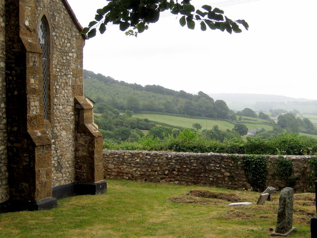
Image: © Sarah Smith Taken: 4 Jul 2010
The churchyard of St John the Baptist and the view slightly to the left - if I had taken the photograph looking straight over the wall the pylon would have been in the way.
Images are licensed for reuse under creativecommons.org/licenses/by-sa/2.0
Image Location
Latitude
50.779821
Longitude
-2.898638