Riverside path, Ponthir
Introduction
The photograph on this page of Riverside path, Ponthir by Jaggery as part of the Geograph project.
The Geograph project started in 2005 with the aim of publishing, organising and preserving representative images for every square kilometre of Great Britain, Ireland and the Isle of Man.

There are currently over 7.5m images from over 14,400 individuals and you can help contribute to the project by visiting https://www.geograph.org.uk
Riverside path, Ponthir
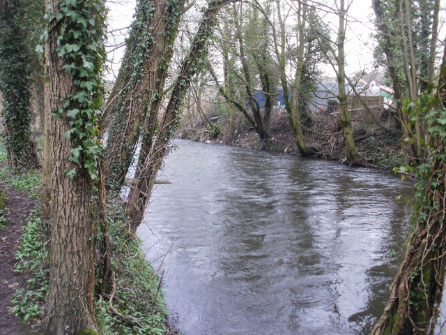
Image: © Jaggery Taken: 25 Mar 2010
In the middle of the wooded area of the water works site, a path runs alongside the Afon Lwyd.
Images are licensed for reuse under creativecommons.org/licenses/by-sa/2.0
Image Location
Latitude
51.625534
Longitude
-2.966392