Countryside near Combe Cross
Introduction
The photograph on this page of Countryside near Combe Cross by Derek Harper as part of the Geograph project.
The Geograph project started in 2005 with the aim of publishing, organising and preserving representative images for every square kilometre of Great Britain, Ireland and the Isle of Man.

There are currently over 7.5m images from over 14,400 individuals and you can help contribute to the project by visiting https://www.geograph.org.uk
Countryside near Combe Cross
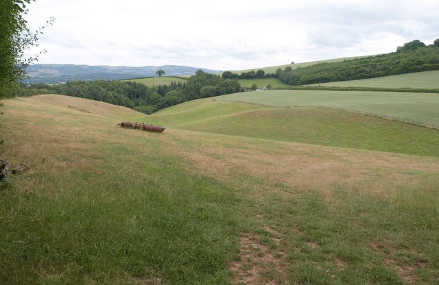
Image: © Derek Harper Taken: 30 Jun 2010
From Combecross Lane carrying Restricted Byway WL 22/40, a view down a small valley which eventually drains into the Doniford Stream. The wood is Catford Copse.
Images are licensed for reuse under creativecommons.org/licenses/by-sa/2.0
Image Location
Latitude
51.125725
Longitude
-3.311743