Combe Cross
Introduction
The photograph on this page of Combe Cross by Derek Harper as part of the Geograph project.
The Geograph project started in 2005 with the aim of publishing, organising and preserving representative images for every square kilometre of Great Britain, Ireland and the Isle of Man.

There are currently over 7.5m images from over 14,400 individuals and you can help contribute to the project by visiting https://www.geograph.org.uk
Combe Cross
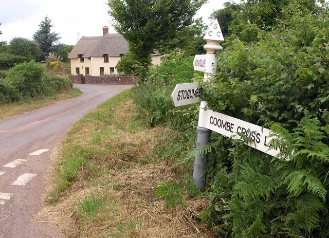
Image: © Derek Harper Taken: 30 Jun 2010
A lane junction on the fringe of the Exmoor National Park. The signposted Combecross Lane heads east to Stogumber, and is perfectly motorable though not for large vehicles, but the sign advises a longer route via Ashbeer Hill. Combecross Lane continues as a track and bridleway to the right of the cottage, while the lane goes to Monksilver.
Images are licensed for reuse under creativecommons.org/licenses/by-sa/2.0
Image Location
Latitude
51.124982
Longitude
-3.313865