Brayton College
Introduction
The photograph on this page of Brayton College by Roger Gilbertson as part of the Geograph project.
The Geograph project started in 2005 with the aim of publishing, organising and preserving representative images for every square kilometre of Great Britain, Ireland and the Isle of Man.

There are currently over 7.5m images from over 14,400 individuals and you can help contribute to the project by visiting https://www.geograph.org.uk
Brayton College
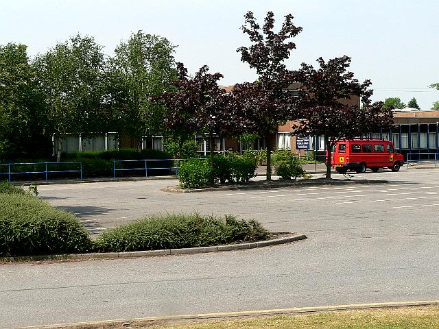
Image: © Roger Gilbertson Taken: 1 Jul 2006
The school is on the A19, known at this point as Doncaster Road
Images are licensed for reuse under creativecommons.org/licenses/by-sa/2.0
Image Location
Latitude
53.772722
Longitude
-1.082005