Byre, Pitlochrie
Introduction
The photograph on this page of Byre, Pitlochrie by Richard Webb as part of the Geograph project.
The Geograph project started in 2005 with the aim of publishing, organising and preserving representative images for every square kilometre of Great Britain, Ireland and the Isle of Man.

There are currently over 7.5m images from over 14,400 individuals and you can help contribute to the project by visiting https://www.geograph.org.uk
Byre, Pitlochrie
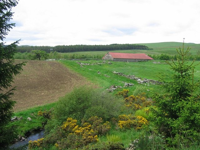
Image: © Richard Webb Taken: 17 Jun 2005
Bayre set in grazing land just outside the forest. The dykes suggest an old road going down to the burn.
Images are licensed for reuse under creativecommons.org/licenses/by-sa/2.0
Image Location
Latitude
56.735036
Longitude
-3.273298