Fields near Rathfriland
Introduction
The photograph on this page of Fields near Rathfriland by Albert Bridge as part of the Geograph project.
The Geograph project started in 2005 with the aim of publishing, organising and preserving representative images for every square kilometre of Great Britain, Ireland and the Isle of Man.

There are currently over 7.5m images from over 14,400 individuals and you can help contribute to the project by visiting https://www.geograph.org.uk
Fields near Rathfriland
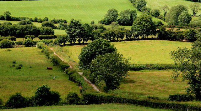
Image: © Albert Bridge Taken: 2 Jul 2010
The patchwork landscape (typical of this part of south west Down) to west of the Ballynamagna Road Image The lane (middle) is this one Image
Images are licensed for reuse under creativecommons.org/licenses/by-sa/2.0
Image Location
Latitude
54.251391
Longitude
-6.186661