Bench Mark, Belfast
Introduction
The photograph on this page of Bench Mark, Belfast by Rossographer as part of the Geograph project.
The Geograph project started in 2005 with the aim of publishing, organising and preserving representative images for every square kilometre of Great Britain, Ireland and the Isle of Man.

There are currently over 7.5m images from over 14,400 individuals and you can help contribute to the project by visiting https://www.geograph.org.uk
Bench Mark, Belfast
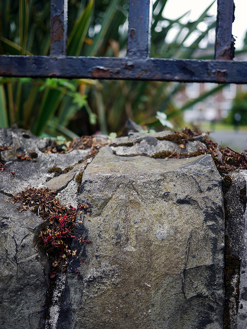
Image: © Rossographer Taken: 2 Jul 2010
Cut bench mark on a wall outside Stranmillis College in Belfast Image - it lies just to the left of the main entrance gates. The actual level of the mark is the top of the wall. This mark first appears on maps of 1957 but has disappeared from subsequent mapping only a decade later. In 1957 it was levelled to 24.4 feet above MSL. See also http://www.geograph.org.uk/search.php?i=11037856 for many other examples I have found.
Images are licensed for reuse under creativecommons.org/licenses/by-sa/2.0
Image Location
Latitude
54.573735
Longitude
-5.932661