Dane End Tributary
Introduction
The photograph on this page of Dane End Tributary by Nigel Cox as part of the Geograph project.
The Geograph project started in 2005 with the aim of publishing, organising and preserving representative images for every square kilometre of Great Britain, Ireland and the Isle of Man.

There are currently over 7.5m images from over 14,400 individuals and you can help contribute to the project by visiting https://www.geograph.org.uk
Dane End Tributary
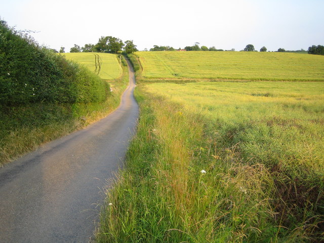
Image: © Nigel Cox Taken: 30 Jun 2006
In this photo the stream "flows" from left to right in the valley bottom, towards Dane End, across a ford on the lane between Great Munden and Old Hall Green. In this context "flows" is not the right word as the streambed is totally dry at this time of year.
Images are licensed for reuse under creativecommons.org/licenses/by-sa/2.0
Image Location


Leaflet Map data © OpenStreetMap
Latitude
51.894437
Longitude
-0.02933