Morpeth Tandoori
Introduction
The photograph on this page of Morpeth Tandoori by Willie Duffin as part of the Geograph project.
The Geograph project started in 2005 with the aim of publishing, organising and preserving representative images for every square kilometre of Great Britain, Ireland and the Isle of Man.

There are currently over 7.5m images from over 14,400 individuals and you can help contribute to the project by visiting https://www.geograph.org.uk
Morpeth Tandoori
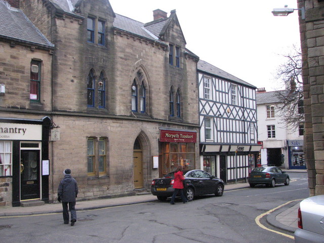
Image: © Willie Duffin Taken: 6 Apr 2010
An Indian Restaurant housed in a 15/16th century building just opposite the Chantry. A pity to see an old historic building being carved up like this.
Images are licensed for reuse under creativecommons.org/licenses/by-sa/2.0
Image Location
Latitude
55.166383
Longitude
-1.686653