Rutland Road
Introduction
The photograph on this page of Rutland Road by Alan Murray-Rust as part of the Geograph project.
The Geograph project started in 2005 with the aim of publishing, organising and preserving representative images for every square kilometre of Great Britain, Ireland and the Isle of Man.

There are currently over 7.5m images from over 14,400 individuals and you can help contribute to the project by visiting https://www.geograph.org.uk
Rutland Road
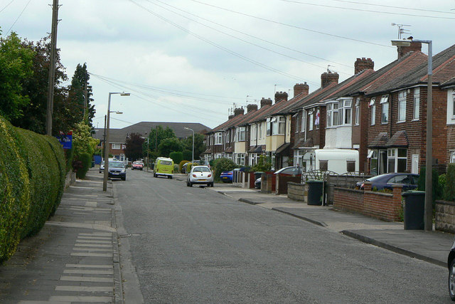
Image: © Alan Murray-Rust Taken: 24 Jun 2010
One of the earliest new roads to be developed as part of the expansion of Toton as a dormitory residential area in the inter-war period.
Images are licensed for reuse under creativecommons.org/licenses/by-sa/2.0
Image Location
Latitude
52.90639
Longitude
-1.252377