Stepping Stones, Truss Gap
Introduction
The photograph on this page of Stepping Stones, Truss Gap by Michael Graham as part of the Geograph project.
The Geograph project started in 2005 with the aim of publishing, organising and preserving representative images for every square kilometre of Great Britain, Ireland and the Isle of Man.

There are currently over 7.5m images from over 14,400 individuals and you can help contribute to the project by visiting https://www.geograph.org.uk
Stepping Stones, Truss Gap
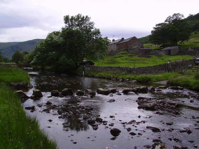
Image: © Michael Graham Taken: 30 Jun 2006
Crossing Swindale Beck which is also forded at this point and has a footbridge nearby. The route onto the low fells of Ralfland Forest is part of the Old Corpse Road from Mardale to Shap.Truss Gap Farm in view.
Images are licensed for reuse under creativecommons.org/licenses/by-sa/2.0
Image Location
Latitude
54.510864
Longitude
-2.752141