Wooded Stream
Introduction
The photograph on this page of Wooded Stream by David Dixon as part of the Geograph project.
The Geograph project started in 2005 with the aim of publishing, organising and preserving representative images for every square kilometre of Great Britain, Ireland and the Isle of Man.

There are currently over 7.5m images from over 14,400 individuals and you can help contribute to the project by visiting https://www.geograph.org.uk
Wooded Stream
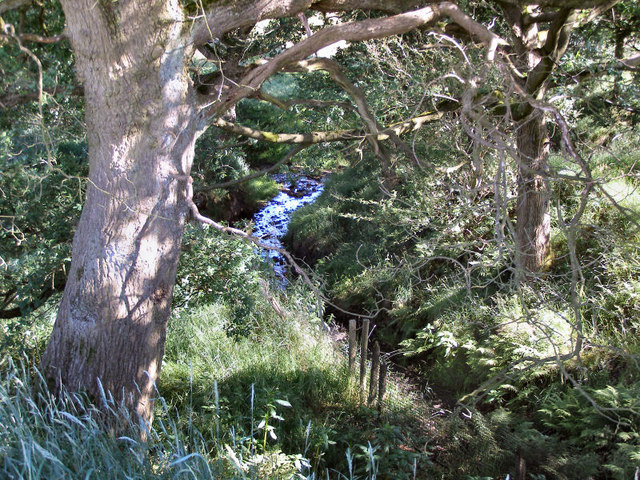
Image: © David Dixon Taken: 29 Jun 2010
Although this looks like a woodland scene, it is actually part of a narrow strip of trees either side of a stream forming the boundary between open fields. The stream is shown on the map but not named.
Images are licensed for reuse under creativecommons.org/licenses/by-sa/2.0
Image Location
Latitude
53.572183
Longitude
-2.233224