Pennine Bridleway near Castle Farm
Introduction
The photograph on this page of Pennine Bridleway near Castle Farm by michael ely as part of the Geograph project.
The Geograph project started in 2005 with the aim of publishing, organising and preserving representative images for every square kilometre of Great Britain, Ireland and the Isle of Man.

There are currently over 7.5m images from over 14,400 individuals and you can help contribute to the project by visiting https://www.geograph.org.uk
Pennine Bridleway near Castle Farm
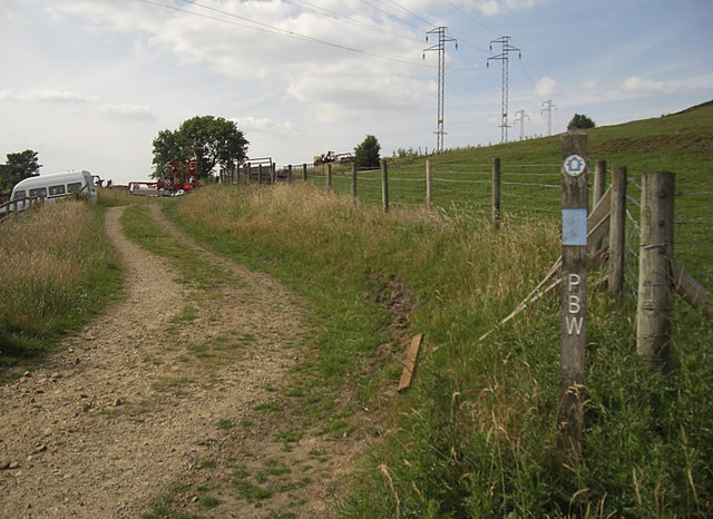
Image: © michael ely Taken: 30 Jun 2010
Castle Farm is on Castle Lane just out of shot on the left. The track is Moor Edge Road that forms part of the National Trail between Carrbrook and Greenfield. Here we are looking towards Greenfield.
Images are licensed for reuse under creativecommons.org/licenses/by-sa/2.0
Image Location
Latitude
53.509913
Longitude
-2.021675