Merttins Road, SE4
Introduction
The photograph on this page of Merttins Road, SE4 by Malc McDonald as part of the Geograph project.
The Geograph project started in 2005 with the aim of publishing, organising and preserving representative images for every square kilometre of Great Britain, Ireland and the Isle of Man.

There are currently over 7.5m images from over 14,400 individuals and you can help contribute to the project by visiting https://www.geograph.org.uk
Merttins Road, SE4
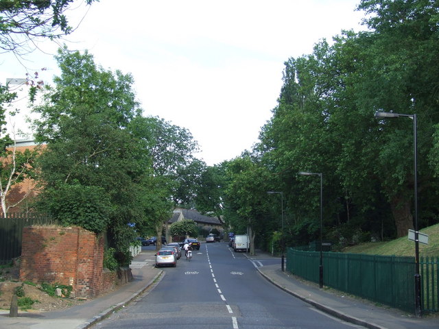
Image: © Malc McDonald Taken: 27 Jun 2010
The brick wall, and the mound on the opposite side of the road, are a clue that a railway bridge once stood at this point. It carried the Crystal Palace High Level branch which closed in 1954.
Images are licensed for reuse under creativecommons.org/licenses/by-sa/2.0
Image Location
Latitude
51.456692
Longitude
-0.045795