Longfield Road Rodwell - Weymouth
Introduction
The photograph on this page of Longfield Road Rodwell - Weymouth by Sarah Smith as part of the Geograph project.
The Geograph project started in 2005 with the aim of publishing, organising and preserving representative images for every square kilometre of Great Britain, Ireland and the Isle of Man.

There are currently over 7.5m images from over 14,400 individuals and you can help contribute to the project by visiting https://www.geograph.org.uk
Longfield Road Rodwell - Weymouth
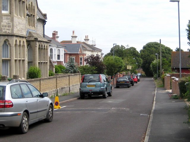
Image: © Sarah Smith Taken: 29 Jun 2010
At the top of Rodwell is Longfield Road, a cul-de-sac, which used to be unmetalled and unadopted. There was no pavement on the right. Netherton House stood at the bottom, now pulled down, and on the right were allotments. Devenish Brewery used to dump hops for recycling as compost in the hedge! The stone building on the left used to be Holy Trinity Vicarage and had a wonderful magnolia growing against its front wall between the windows. Today there has been much in-filling and building in gardens and anywhere else where there is free space.
Images are licensed for reuse under creativecommons.org/licenses/by-sa/2.0
Image Location
Latitude
50.601989
Longitude
-2.45805