Bures Station
Introduction
The photograph on this page of Bures Station by Ben Brooksbank as part of the Geograph project.
The Geograph project started in 2005 with the aim of publishing, organising and preserving representative images for every square kilometre of Great Britain, Ireland and the Isle of Man.

There are currently over 7.5m images from over 14,400 individuals and you can help contribute to the project by visiting https://www.geograph.org.uk
Bures Station
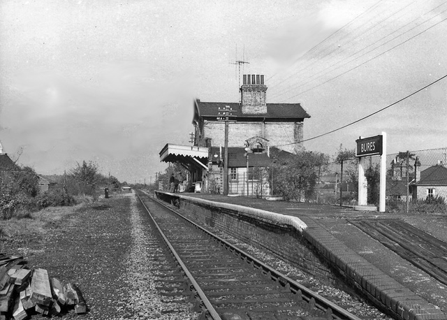
Image: © Ben Brooksbank Taken: 28 Oct 1966
View northward, towards Sudbury and Cambridge; ex-Great Eastern, Cambridge - Haverhill - Sudbury - Marks Tey line. The line from Cambridge was closed as far as Sudbury on 6/3/67, but the eastern section Sudbury - Marks Tey through Bures has survived.
Images are licensed for reuse under creativecommons.org/licenses/by-sa/2.0
Image Location


Leaflet Map data © OpenStreetMap
Latitude
51.970801
Longitude
0.769122