Gloucester & Sharpness Canal
Introduction
The photograph on this page of Gloucester & Sharpness Canal by Derek Harper as part of the Geograph project.
The Geograph project started in 2005 with the aim of publishing, organising and preserving representative images for every square kilometre of Great Britain, Ireland and the Isle of Man.

There are currently over 7.5m images from over 14,400 individuals and you can help contribute to the project by visiting https://www.geograph.org.uk
Gloucester & Sharpness Canal
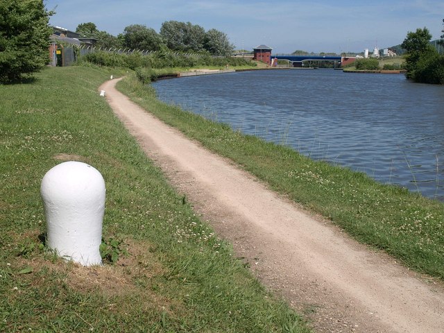
Image: © Derek Harper Taken: 23 Jun 2010
The towpath approaching the stretch of the ship canal which was realigned a few years ago - see Image - to accommodate Netheridge swing bridge on the new A430. To the left of the bridge is a control tower.
Images are licensed for reuse under creativecommons.org/licenses/by-sa/2.0
Image Location
Latitude
51.838682
Longitude
-2.275719