2010 : A362 heading south east toward Warminster
Introduction
The photograph on this page of 2010 : A362 heading south east toward Warminster by Maurice Pullin as part of the Geograph project.
The Geograph project started in 2005 with the aim of publishing, organising and preserving representative images for every square kilometre of Great Britain, Ireland and the Isle of Man.

There are currently over 7.5m images from over 14,400 individuals and you can help contribute to the project by visiting https://www.geograph.org.uk
2010 : A362 heading south east toward Warminster
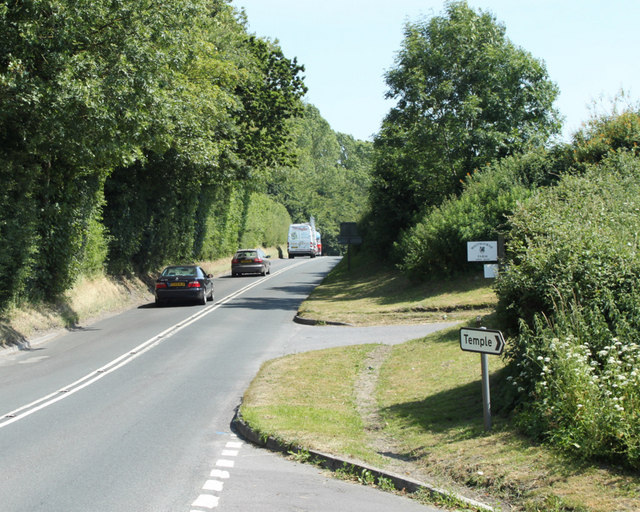
Image: © Maurice Pullin Taken: 28 Jun 2010
The minor road to the right is signed to Temple. The entrance to Whitbourne Farm is beyond.
Images are licensed for reuse under creativecommons.org/licenses/by-sa/2.0
Image Location
Latitude
51.205123
Longitude
-2.245149