Field near Grove End
Introduction
The photograph on this page of Field near Grove End by Derek Harper as part of the Geograph project.
The Geograph project started in 2005 with the aim of publishing, organising and preserving representative images for every square kilometre of Great Britain, Ireland and the Isle of Man.

There are currently over 7.5m images from over 14,400 individuals and you can help contribute to the project by visiting https://www.geograph.org.uk
Field near Grove End
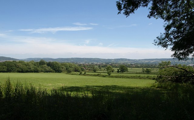
Image: © Derek Harper Taken: 23 Jun 2010
Footpath EHA/4/2 has just emerged from the wood named Ash Bed, and crosses this field to Hardwicke Farm Covert (left), with a good view across the Vale of Gloucester to the Cotswolds.
Images are licensed for reuse under creativecommons.org/licenses/by-sa/2.0
Image Location
Latitude
51.820519
Longitude
-2.312169