Heol Glandulais
Introduction
The photograph on this page of Heol Glandulais by John Thorn as part of the Geograph project.
The Geograph project started in 2005 with the aim of publishing, organising and preserving representative images for every square kilometre of Great Britain, Ireland and the Isle of Man.

There are currently over 7.5m images from over 14,400 individuals and you can help contribute to the project by visiting https://www.geograph.org.uk
Heol Glandulais
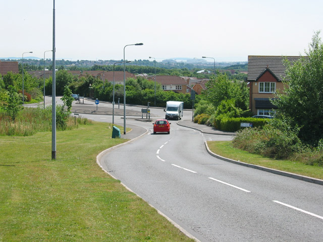
Image: © John Thorn Taken: 30 Jun 2006
This new road marks the Western Edge of the Pontprennau development. The large buildings near the horizon are the Avesta Steelworks; between them is the island of Steep Holm. On the left horizon is Brean Down in Somerset.
Images are licensed for reuse under creativecommons.org/licenses/by-sa/2.0
Image Location
Latitude
51.535812
Longitude
-3.144715