Lower Foyers
Introduction
The photograph on this page of Lower Foyers by Anne Burgess as part of the Geograph project.
The Geograph project started in 2005 with the aim of publishing, organising and preserving representative images for every square kilometre of Great Britain, Ireland and the Isle of Man.

There are currently over 7.5m images from over 14,400 individuals and you can help contribute to the project by visiting https://www.geograph.org.uk
Lower Foyers
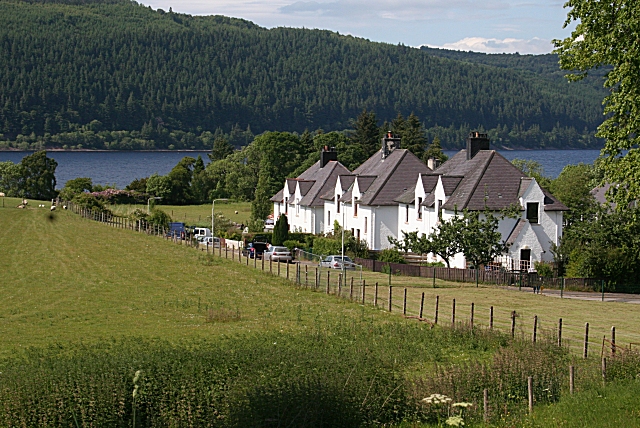
Image: © Anne Burgess Taken: 22 Jun 2010
Some of the houses close to the loch at Lower Foyers.
Images are licensed for reuse under creativecommons.org/licenses/by-sa/2.0
Image Location


Leaflet Map data © OpenStreetMap
Latitude
57.254248
Longitude
-4.49887