Cupar Road, Newport-on-Tay
Introduction
The photograph on this page of Cupar Road, Newport-on-Tay by Bob Embleton as part of the Geograph project.
The Geograph project started in 2005 with the aim of publishing, organising and preserving representative images for every square kilometre of Great Britain, Ireland and the Isle of Man.

There are currently over 7.5m images from over 14,400 individuals and you can help contribute to the project by visiting https://www.geograph.org.uk
Cupar Road, Newport-on-Tay
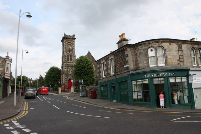
Image: © Bob Embleton Taken: 23 Jun 2010
Taken with my back to the Firth of Tay. Looking up Cupar Road to the Church of Scotland. Built as St Thomas' Church in 1870 when Newport's population grew rapidly. Originally this area was part of the parish of Forgan. The Silver Tay fish suppers are superb!
Images are licensed for reuse under creativecommons.org/licenses/by-sa/2.0
Image Location
Latitude
56.439712
Longitude
-2.940642