Holne: towards Hannaford
Introduction
The photograph on this page of Holne: towards Hannaford by Martin Bodman as part of the Geograph project.
The Geograph project started in 2005 with the aim of publishing, organising and preserving representative images for every square kilometre of Great Britain, Ireland and the Isle of Man.

There are currently over 7.5m images from over 14,400 individuals and you can help contribute to the project by visiting https://www.geograph.org.uk
Holne: towards Hannaford
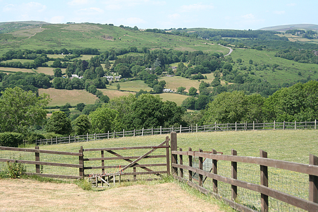
Image: © Martin Bodman Taken: 27 Jun 2010
View over the Dart valley to the cluster of houses by Hannaford Manor. The road to Dartmeet and Princetown via Poundsgate climbs the moor on the right, well beyond the square
Images are licensed for reuse under creativecommons.org/licenses/by-sa/2.0
Image Location
Latitude
50.513846
Longitude
-3.819549