Newport Canal
Introduction
The photograph on this page of Newport Canal by Oliver Dixon as part of the Geograph project.
The Geograph project started in 2005 with the aim of publishing, organising and preserving representative images for every square kilometre of Great Britain, Ireland and the Isle of Man.

There are currently over 7.5m images from over 14,400 individuals and you can help contribute to the project by visiting https://www.geograph.org.uk
Newport Canal
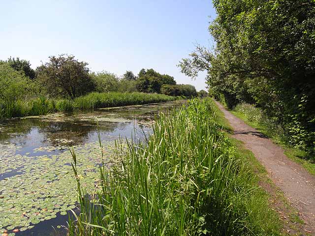
Image: © Oliver Dixon Taken: 17 Jun 2010
The Shrewsbury and Newport Canal (which has been known variously as the Shrewsbury, and as the Newport Canal) connected Shrewsbury with the main line of the Shropshire Union Canal at Norbury Junction. The last link between Wappenshall (near Telford) and Norbury Junction through Newport was only completed in 1835. The Canal was abandoned in 1944. The section within Newport town has recently been restored as an amenity - but not as a navigable waterway.
Images are licensed for reuse under creativecommons.org/licenses/by-sa/2.0
Image Location
Latitude
52.776195
Longitude
-2.370999