Central Parade, New Addington
Introduction
The photograph on this page of Central Parade, New Addington by Stephen Richards as part of the Geograph project.
The Geograph project started in 2005 with the aim of publishing, organising and preserving representative images for every square kilometre of Great Britain, Ireland and the Isle of Man.

There are currently over 7.5m images from over 14,400 individuals and you can help contribute to the project by visiting https://www.geograph.org.uk
Central Parade, New Addington
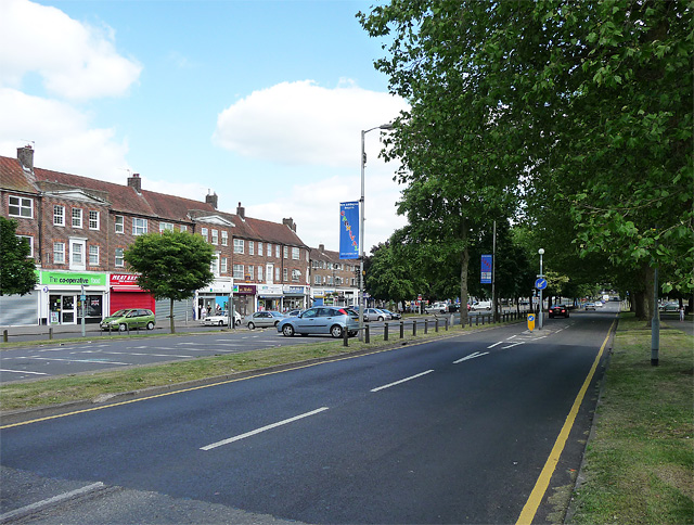
Image: © Stephen Richards Taken: Unknown
This is indeed pretty much the centre of New Addington with shops on one side, and various civic buildings on the other. New Addington was originally developed in the 1930s before being enlarged by Croydon Corporation as a quasi-new town. Pevsner describes it as a "classic example in the 1950s of prairie planning, or the pointless over-provision of open space, so that everything is too far apart."
Images are licensed for reuse under creativecommons.org/licenses/by-sa/2.0
Image Location
Latitude
51.34134
Longitude
-0.01524