Road to Felt House Farm
Introduction
The photograph on this page of Road to Felt House Farm by Ian Calderwood as part of the Geograph project.
The Geograph project started in 2005 with the aim of publishing, organising and preserving representative images for every square kilometre of Great Britain, Ireland and the Isle of Man.

There are currently over 7.5m images from over 14,400 individuals and you can help contribute to the project by visiting https://www.geograph.org.uk
Road to Felt House Farm
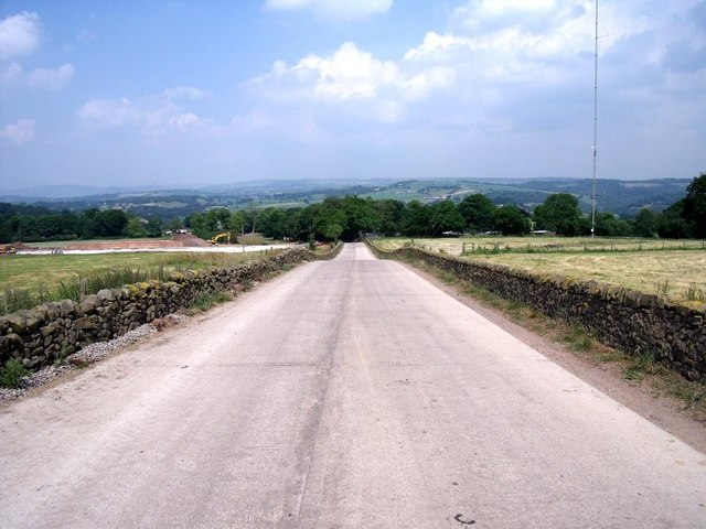
Image: © Ian Calderwood Taken: 26 Jun 2010
This access road follows the line of an old road that ran from Wetley Rocks down to Basford Bridge.
Images are licensed for reuse under creativecommons.org/licenses/by-sa/2.0
Image Location


Leaflet Map data © OpenStreetMap
Latitude
53.050944
Longitude
-2.035762