Burne
Introduction
The photograph on this page of Burne by Robin Stott as part of the Geograph project.
The Geograph project started in 2005 with the aim of publishing, organising and preserving representative images for every square kilometre of Great Britain, Ireland and the Isle of Man.

There are currently over 7.5m images from over 14,400 individuals and you can help contribute to the project by visiting https://www.geograph.org.uk
Burne
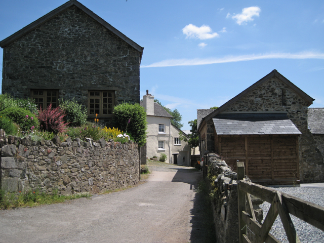
Image: © Robin Stott Taken: 21 Jun 2010
Shown on the map as East Burne, it is an extensive property with swimming pool, paddocks and, yes, a manège.
Images are licensed for reuse under creativecommons.org/licenses/by-sa/2.0
Image Location
Latitude
50.526398
Longitude
-3.697143