Foundry House
Introduction
The photograph on this page of Foundry House by Natasha Ceridwen de Chroustchoff as part of the Geograph project.
The Geograph project started in 2005 with the aim of publishing, organising and preserving representative images for every square kilometre of Great Britain, Ireland and the Isle of Man.

There are currently over 7.5m images from over 14,400 individuals and you can help contribute to the project by visiting https://www.geograph.org.uk
Foundry House
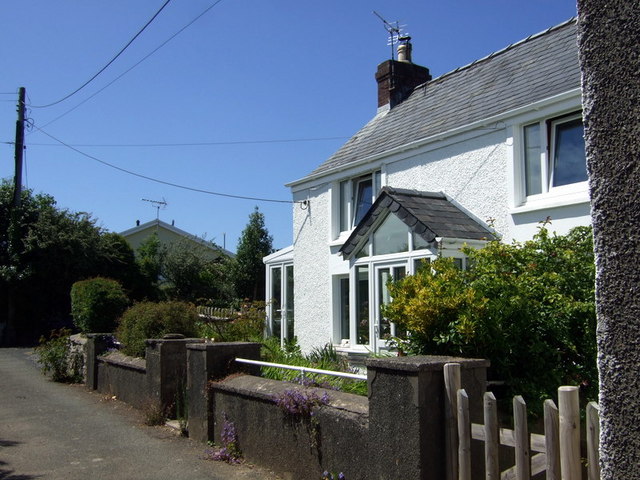
Image: © Natasha Ceridwen de Chroustchoff Taken: 24 Jun 2010
The name is the only clue that there must once have been a foundry here, in Ropeyard Lane.
Images are licensed for reuse under creativecommons.org/licenses/by-sa/2.0
Image Location
Latitude
51.991893
Longitude
-4.983751