Belgravia, benchmark
Introduction
The photograph on this page of Belgravia, benchmark by Roger Templeman as part of the Geograph project.
The Geograph project started in 2005 with the aim of publishing, organising and preserving representative images for every square kilometre of Great Britain, Ireland and the Isle of Man.

There are currently over 7.5m images from over 14,400 individuals and you can help contribute to the project by visiting https://www.geograph.org.uk
Belgravia, benchmark
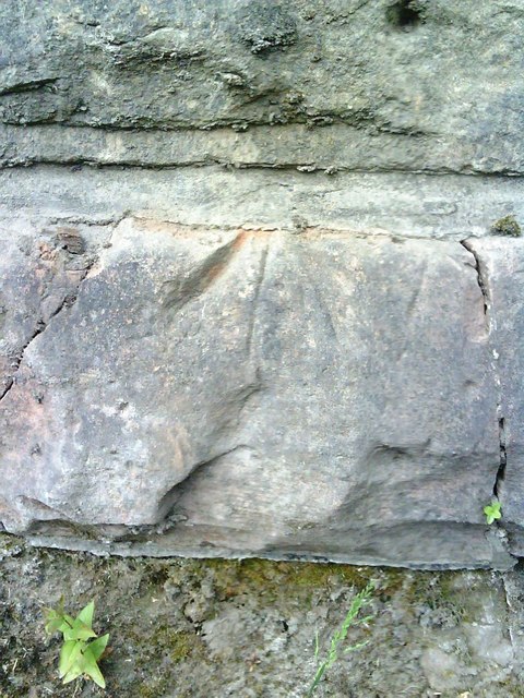
Image: © Roger Templeman Taken: 26 Jun 2010
This appears to be a pivot benchmark on railway bridge at junction of Belgravia and Long Marton Road. See Bench Mark Database record http://www.bench-marks.org.uk/bm34738 for more details.
Images are licensed for reuse under creativecommons.org/licenses/by-sa/2.0
Image Location
Latitude
54.584807
Longitude
-2.494482