Sixpenny Handley, former chapel
Introduction
The photograph on this page of Sixpenny Handley, former chapel by Mike Faherty as part of the Geograph project.
The Geograph project started in 2005 with the aim of publishing, organising and preserving representative images for every square kilometre of Great Britain, Ireland and the Isle of Man.

There are currently over 7.5m images from over 14,400 individuals and you can help contribute to the project by visiting https://www.geograph.org.uk
Sixpenny Handley, former chapel
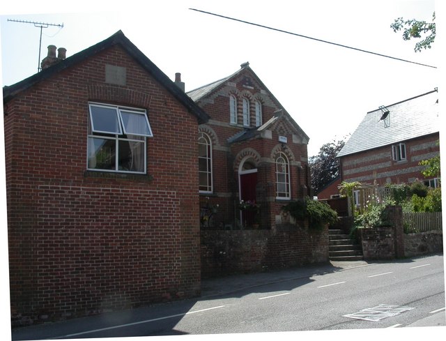
Image: © Mike Faherty Taken: 25 Jun 2010
On High Street, distinguishable by porch and windows, but without plaque or foundation stones; shown on old OS maps as "Chapel", without denomination. Now residential.
Images are licensed for reuse under creativecommons.org/licenses/by-sa/2.0
Image Location
Latitude
50.953331
Longitude
-2.003508