Three neighbouring farms - Bronallt, Graeanfryn and Plas yng Ngheidio
Introduction
The photograph on this page of Three neighbouring farms - Bronallt, Graeanfryn and Plas yng Ngheidio by Eric Jones as part of the Geograph project.
The Geograph project started in 2005 with the aim of publishing, organising and preserving representative images for every square kilometre of Great Britain, Ireland and the Isle of Man.

There are currently over 7.5m images from over 14,400 individuals and you can help contribute to the project by visiting https://www.geograph.org.uk
Three neighbouring farms - Bronallt, Graeanfryn and Plas yng Ngheidio
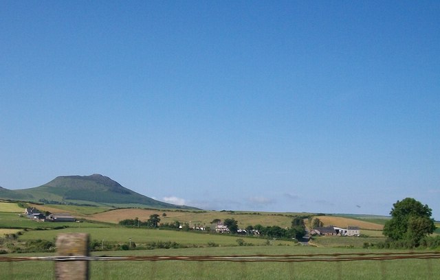
Image: © Eric Jones Taken: 25 Jun 2010
Bronallt means "hillbreast", Graeanfryn means "gravelhill" and Plas yng Ngheidio means "villa in Ceidio", Ceidio being the name of the townland.
Images are licensed for reuse under creativecommons.org/licenses/by-sa/2.0
Image Location


Leaflet Map data © OpenStreetMap
Latitude
52.920004
Longitude
-4.538247