Pocket park, Whitefriars Lane
Introduction
The photograph on this page of Pocket park, Whitefriars Lane by E Gammie as part of the Geograph project.
The Geograph project started in 2005 with the aim of publishing, organising and preserving representative images for every square kilometre of Great Britain, Ireland and the Isle of Man.

There are currently over 7.5m images from over 14,400 individuals and you can help contribute to the project by visiting https://www.geograph.org.uk
Pocket park, Whitefriars Lane
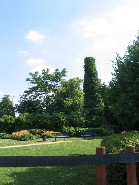
Image: © E Gammie Taken: 25 Jun 2010
A tiny piece of green sandwiched between Whitefriars Lane and the inner ring road. I'm guessing that the chimney-like, ivy-clad structure is a telegraph pole, judging from the wires emanating from the top.
Images are licensed for reuse under creativecommons.org/licenses/by-sa/2.0
Image Location
Latitude
52.404999
Longitude
-1.5043