West Carr Road from the railway footbridge
Introduction
The photograph on this page of West Carr Road from the railway footbridge by Andrew Hill as part of the Geograph project.
The Geograph project started in 2005 with the aim of publishing, organising and preserving representative images for every square kilometre of Great Britain, Ireland and the Isle of Man.

There are currently over 7.5m images from over 14,400 individuals and you can help contribute to the project by visiting https://www.geograph.org.uk
West Carr Road from the railway footbridge
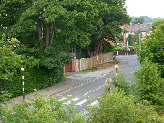
Image: © Andrew Hill Taken: 26 Jun 2010
The main line divides Retford, with West Carr Road running alongside the line for some distance on the Ordsall side.
Images are licensed for reuse under creativecommons.org/licenses/by-sa/2.0
Image Location
Latitude
53.319451
Longitude
-0.954249