Bus shelter at the junction
Introduction
The photograph on this page of Bus shelter at the junction by Michael Dibb as part of the Geograph project.
The Geograph project started in 2005 with the aim of publishing, organising and preserving representative images for every square kilometre of Great Britain, Ireland and the Isle of Man.

There are currently over 7.5m images from over 14,400 individuals and you can help contribute to the project by visiting https://www.geograph.org.uk
Bus shelter at the junction
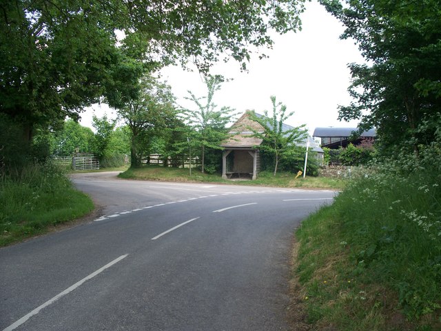
Image: © Michael Dibb Taken: 4 Jun 2010
The road from Fifield comes from behind the camera and makes a sharp right turn on its way to Bledington. The road to the left goes to Nether Westcote and Church Westcote.
Images are licensed for reuse under creativecommons.org/licenses/by-sa/2.0
Image Location
Latitude
51.878348
Longitude
-1.660753