Airey Hill Lane
Introduction
The photograph on this page of Airey Hill Lane by Philip Barker as part of the Geograph project.
The Geograph project started in 2005 with the aim of publishing, organising and preserving representative images for every square kilometre of Great Britain, Ireland and the Isle of Man.

There are currently over 7.5m images from over 14,400 individuals and you can help contribute to the project by visiting https://www.geograph.org.uk
Airey Hill Lane
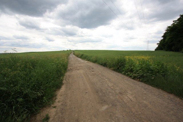
Image: © Philip Barker Taken: 25 Jun 2010
This photograph shows a view of the section of Airey Hill Lane that passes through the south-western corner of the grid square. The lane runs between Skelton Green (behind the photographer) and Airey Hill Farm (ahead). The route of the Cleveland Way long-distance footpath runs along this lane. A part of Green Plantation is just visible in the right-hand side of the image. The picture was taken looking in a south-south-westerly direction towards Slapewath.
Images are licensed for reuse under creativecommons.org/licenses/by-sa/2.0
Image Location
Latitude
54.546092
Longitude
-0.999032