The Royal Oak
Introduction
The photograph on this page of The Royal Oak by Des Blenkinsopp as part of the Geograph project.
The Geograph project started in 2005 with the aim of publishing, organising and preserving representative images for every square kilometre of Great Britain, Ireland and the Isle of Man.

There are currently over 7.5m images from over 14,400 individuals and you can help contribute to the project by visiting https://www.geograph.org.uk
The Royal Oak
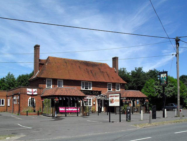
Image: © Des Blenkinsopp Taken: 22 Jun 2010
This square is nothing but pubs so far. Here's yet another shot of the Royal Oak. Looks like it's had a bit of a make-over since Image
Images are licensed for reuse under creativecommons.org/licenses/by-sa/2.0
Image Location
Latitude
51.600281
Longitude
-1.257119