River Don
Introduction
The photograph on this page of River Don by Michael Patterson as part of the Geograph project.
The Geograph project started in 2005 with the aim of publishing, organising and preserving representative images for every square kilometre of Great Britain, Ireland and the Isle of Man.

There are currently over 7.5m images from over 14,400 individuals and you can help contribute to the project by visiting https://www.geograph.org.uk
River Don
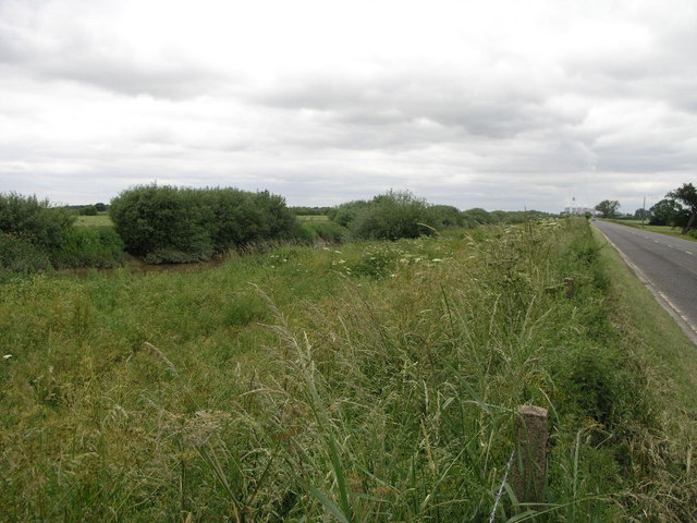
Image: © Michael Patterson Taken: 26 Jun 2006
The lower levels of the River Don give little to indicate that this river once flowed through some of the most polluted industrial areas in the country.
Images are licensed for reuse under creativecommons.org/licenses/by-sa/2.0
Image Location
Latitude
53.663227
Longitude
-0.990555