Lorn & Islands District General Hospital
Introduction
The photograph on this page of Lorn & Islands District General Hospital by Patrick Mackie as part of the Geograph project.
The Geograph project started in 2005 with the aim of publishing, organising and preserving representative images for every square kilometre of Great Britain, Ireland and the Isle of Man.

There are currently over 7.5m images from over 14,400 individuals and you can help contribute to the project by visiting https://www.geograph.org.uk
Lorn & Islands District General Hospital
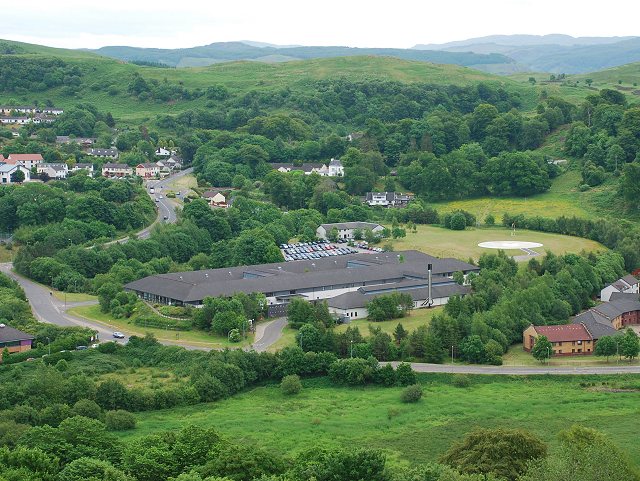
Image: © Patrick Mackie Taken: 23 Jun 2010
View from Druim Mòr. The hospital has a helipad which is essential in a remote area like Argyll with many inhabited islands.
Images are licensed for reuse under creativecommons.org/licenses/by-sa/2.0
Image Location
Latitude
56.400681
Longitude
-5.47553