Road near Maryholme
Introduction
The photograph on this page of Road near Maryholme by Oliver Dixon as part of the Geograph project.
The Geograph project started in 2005 with the aim of publishing, organising and preserving representative images for every square kilometre of Great Britain, Ireland and the Isle of Man.

There are currently over 7.5m images from over 14,400 individuals and you can help contribute to the project by visiting https://www.geograph.org.uk
Road near Maryholme
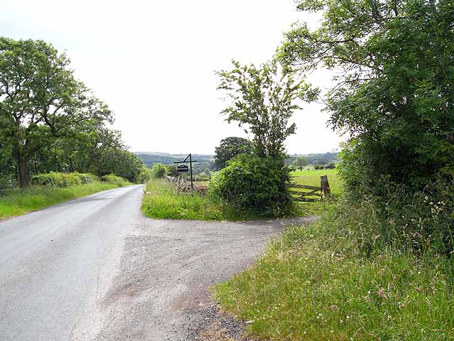
Image: © Oliver Dixon Taken: 24 Jun 2010
This road forms a useful short cut between the A69 and the A689. The turn to Brackenside is to the right.
Images are licensed for reuse under creativecommons.org/licenses/by-sa/2.0
Image Location
Latitude
54.939336
Longitude
-2.679108