St Peters Church Roof
Introduction
The photograph on this page of St Peters Church Roof by Des Blenkinsopp as part of the Geograph project.
The Geograph project started in 2005 with the aim of publishing, organising and preserving representative images for every square kilometre of Great Britain, Ireland and the Isle of Man.

There are currently over 7.5m images from over 14,400 individuals and you can help contribute to the project by visiting https://www.geograph.org.uk
St Peters Church Roof
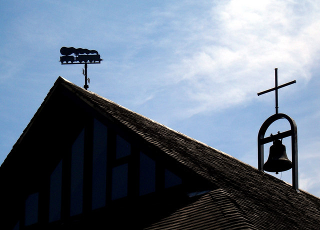
Image: © Des Blenkinsopp Taken: 22 Jun 2010
This weather vane is very apt given Didcot's fame as a railway town.
Images are licensed for reuse under creativecommons.org/licenses/by-sa/2.0
Image Location
Latitude
51.602464
Longitude
-1.246976