Leicester Avenue
Introduction
The photograph on this page of Leicester Avenue by Oast House Archive as part of the Geograph project.
The Geograph project started in 2005 with the aim of publishing, organising and preserving representative images for every square kilometre of Great Britain, Ireland and the Isle of Man.

There are currently over 7.5m images from over 14,400 individuals and you can help contribute to the project by visiting https://www.geograph.org.uk
Leicester Avenue
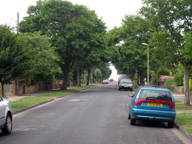
Image: © Oast House Archive Taken: 24 Jun 2010
A long straight tree lined road of detached and semi detached house, running between Northdown Road and Palm Bay Avenue
Images are licensed for reuse under creativecommons.org/licenses/by-sa/2.0
Image Location
Latitude
51.386553
Longitude
1.410758