Garnon's Mill
Introduction
The photograph on this page of Garnon's Mill by Natasha Ceridwen de Chroustchoff as part of the Geograph project.
The Geograph project started in 2005 with the aim of publishing, organising and preserving representative images for every square kilometre of Great Britain, Ireland and the Isle of Man.

There are currently over 7.5m images from over 14,400 individuals and you can help contribute to the project by visiting https://www.geograph.org.uk
Garnon's Mill
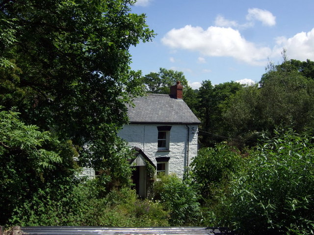
Image: © Natasha Ceridwen de Chroustchoff Taken: 19 Jun 2010
Beside Garnon's Mill Road and no doubt once powered by water from the Morgenau. Presumably it was a corn mill and perhaps part of the Castell Malgwyn estate.
Images are licensed for reuse under creativecommons.org/licenses/by-sa/2.0
Image Location
Latitude
52.05482
Longitude
-4.606027