Entrance to Scotland Lane - closed!
Introduction
The photograph on this page of Entrance to Scotland Lane - closed! by Neil Owen as part of the Geograph project.
The Geograph project started in 2005 with the aim of publishing, organising and preserving representative images for every square kilometre of Great Britain, Ireland and the Isle of Man.

There are currently over 7.5m images from over 14,400 individuals and you can help contribute to the project by visiting https://www.geograph.org.uk
Entrance to Scotland Lane - closed!
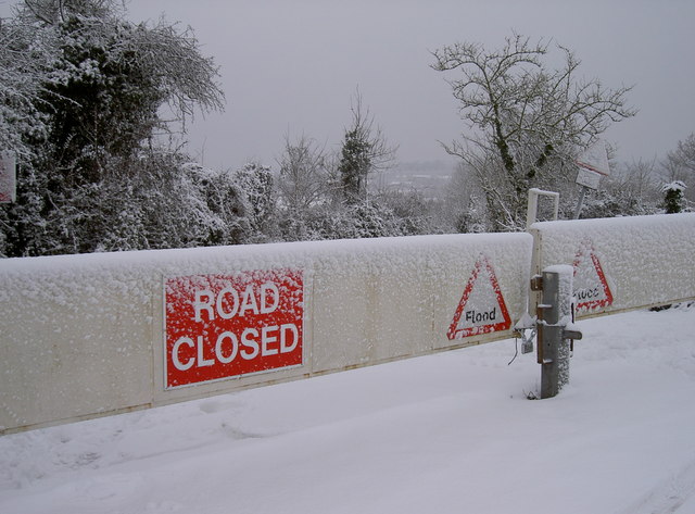
Image: © Neil Owen Taken: 13 Jan 2010
Due to the natural topography of Scotland Lane, it regularly floods during periods of heavy rain. In fact, it has a depth gauge halfway along. Hence the barriers are often shut, but today it's not actually flooded - at least not until the thaw sets in.
Images are licensed for reuse under creativecommons.org/licenses/by-sa/2.0
Image Location
Latitude
51.418076
Longitude
-2.53404