Looking down into Cwm Morgenau
Introduction
The photograph on this page of Looking down into Cwm Morgenau by Natasha Ceridwen de Chroustchoff as part of the Geograph project.
The Geograph project started in 2005 with the aim of publishing, organising and preserving representative images for every square kilometre of Great Britain, Ireland and the Isle of Man.

There are currently over 7.5m images from over 14,400 individuals and you can help contribute to the project by visiting https://www.geograph.org.uk
Looking down into Cwm Morgenau
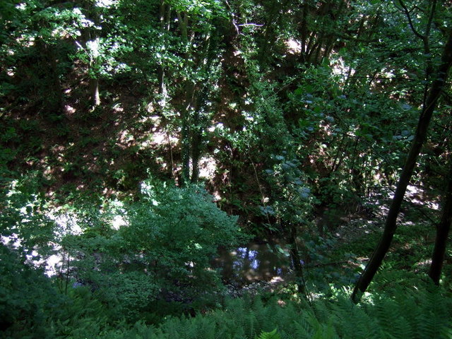
Image: © Natasha Ceridwen de Chroustchoff Taken: 19 Jun 2010
The thickness of the foliage and the dark shadows on a sunny day make it hard to gauge the depth but at some points the rivulet runs as much as 100 feet below the track, passing through a steep sided ravine which is difficult of access today. When the original landscaping took place the idea was to create a romantic dingle that could be followed and crossed in several places. The Morgenau, a mere trickle today after an unusually dry spring, is normally a fast-flowing stream whose noisy babble was intended to contrast the lazy flow of the Teifi on the opposite side of the grounds.
Images are licensed for reuse under creativecommons.org/licenses/by-sa/2.0
Image Location
Latitude
52.058426
Longitude
-4.605654