Blakeden Lane
Introduction
The photograph on this page of Blakeden Lane by michael ely as part of the Geograph project.
The Geograph project started in 2005 with the aim of publishing, organising and preserving representative images for every square kilometre of Great Britain, Ireland and the Isle of Man.

There are currently over 7.5m images from over 14,400 individuals and you can help contribute to the project by visiting https://www.geograph.org.uk
Blakeden Lane
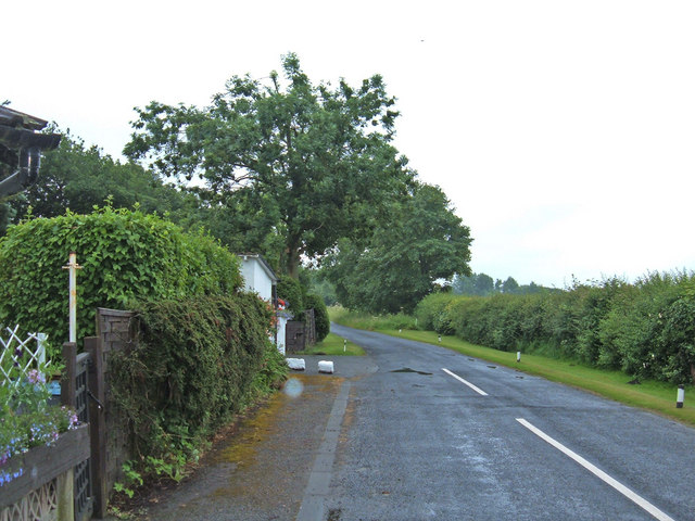
Image: © michael ely Taken: 27 Jun 2006
This narrow lane heads southeast from the A54 to serve a number of small local farms.
Images are licensed for reuse under creativecommons.org/licenses/by-sa/2.0
Image Location
Latitude
53.196007
Longitude
-2.57175