Southern end of Allensbank Road, Cardiff
Introduction
The photograph on this page of Southern end of Allensbank Road, Cardiff by Jaggery as part of the Geograph project.
The Geograph project started in 2005 with the aim of publishing, organising and preserving representative images for every square kilometre of Great Britain, Ireland and the Isle of Man.

There are currently over 7.5m images from over 14,400 individuals and you can help contribute to the project by visiting https://www.geograph.org.uk
Southern end of Allensbank Road, Cardiff
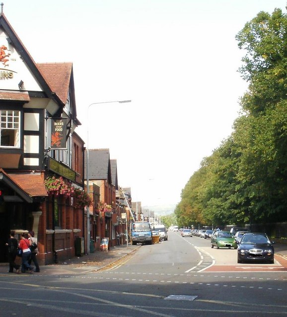
Image: © Jaggery Taken: 3 Sep 2009
Allensbank Road heads north away from the A469 (Whitchurch Road). On the left is the Heath pubhttp://www.geograph.org.uk/photo/1927611 ; on the right is Cathays Cemetery.
Images are licensed for reuse under creativecommons.org/licenses/by-sa/2.0
Image Location
Latitude
51.500352
Longitude
-3.184165